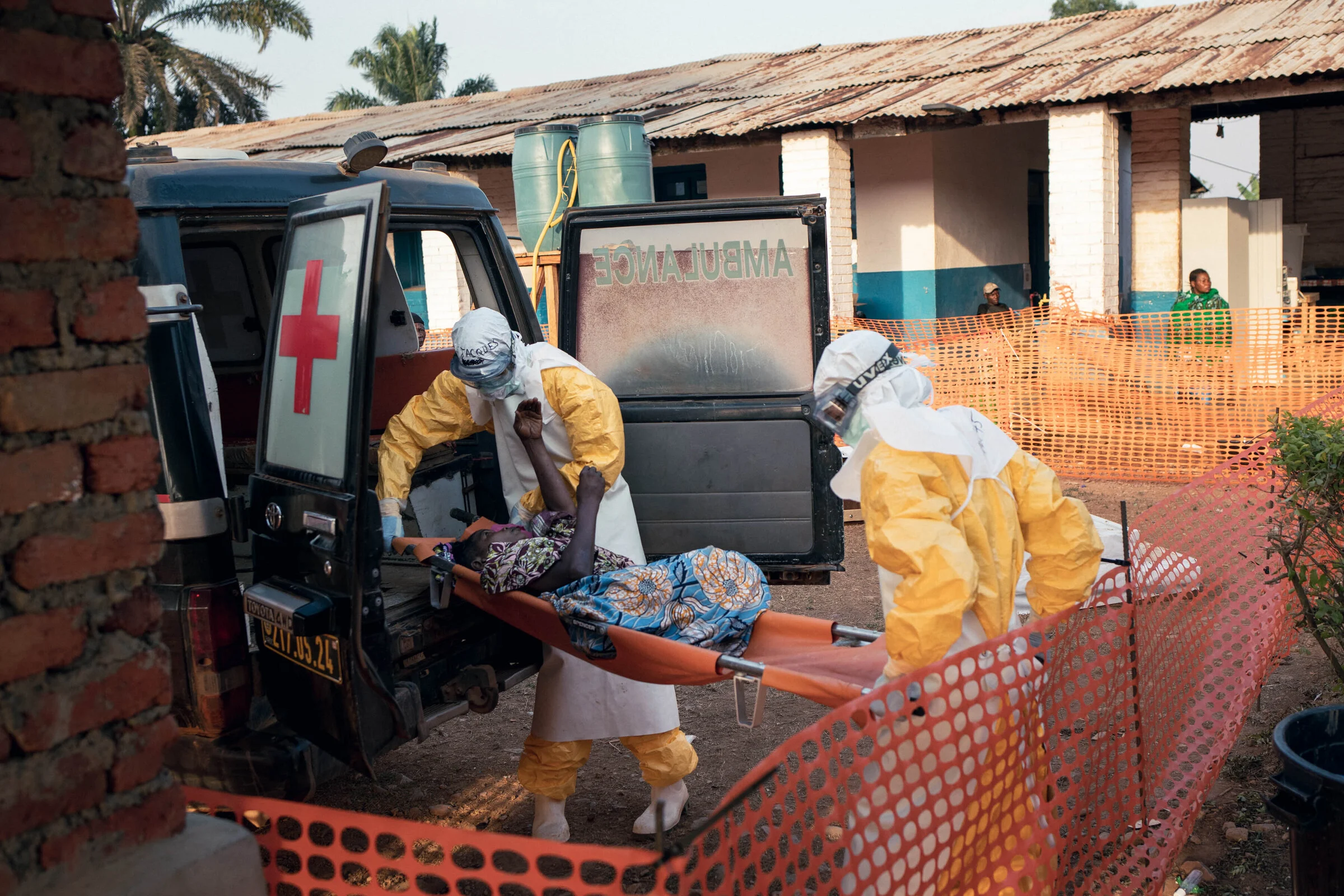
Following the confirmation of an Ebola outbreak in the Ituri Province in the eastern Democratic Republic of the Congo on May 18, 2026, the Humanitarian OpenStreetMap Team (HOT) completed a needs assessment (size-up). The HOT Eastern and Southern Africa Hub, in collaboration with local mappers from OpenStreetMap RDC and Médecins Sans Frontières (MSF), launched HOT Tasking Manager projects from May 21. MapSwipe projects followed.
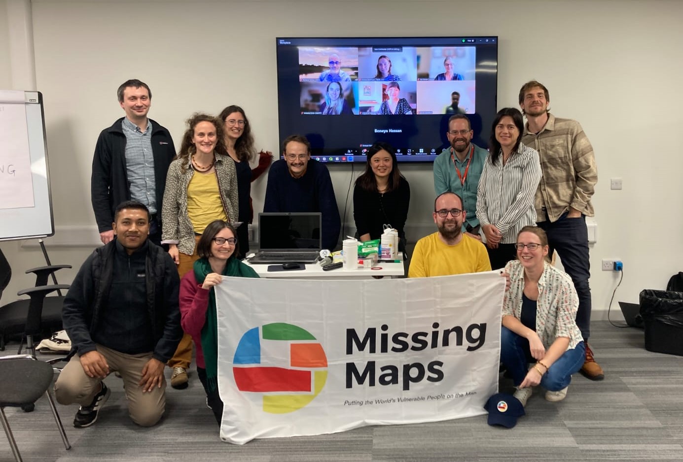
Our annual report provides an overview of activities undertaken by Missing Maps member organizations between September 2024 and October 2025.

Remote mapping and local knowledge came together in Kulob, Tajikistan, to fill critical gaps in neighbourhood-level map data for a tuberculosis project. Through remote sessions and hand-drawn maps, MSF teams turned local knowledge into neighbourhood boundaries that had never been mapped before. The result is a map that supports tuberculosis screening and analysis and will continue to be useful for health teams working in the city.
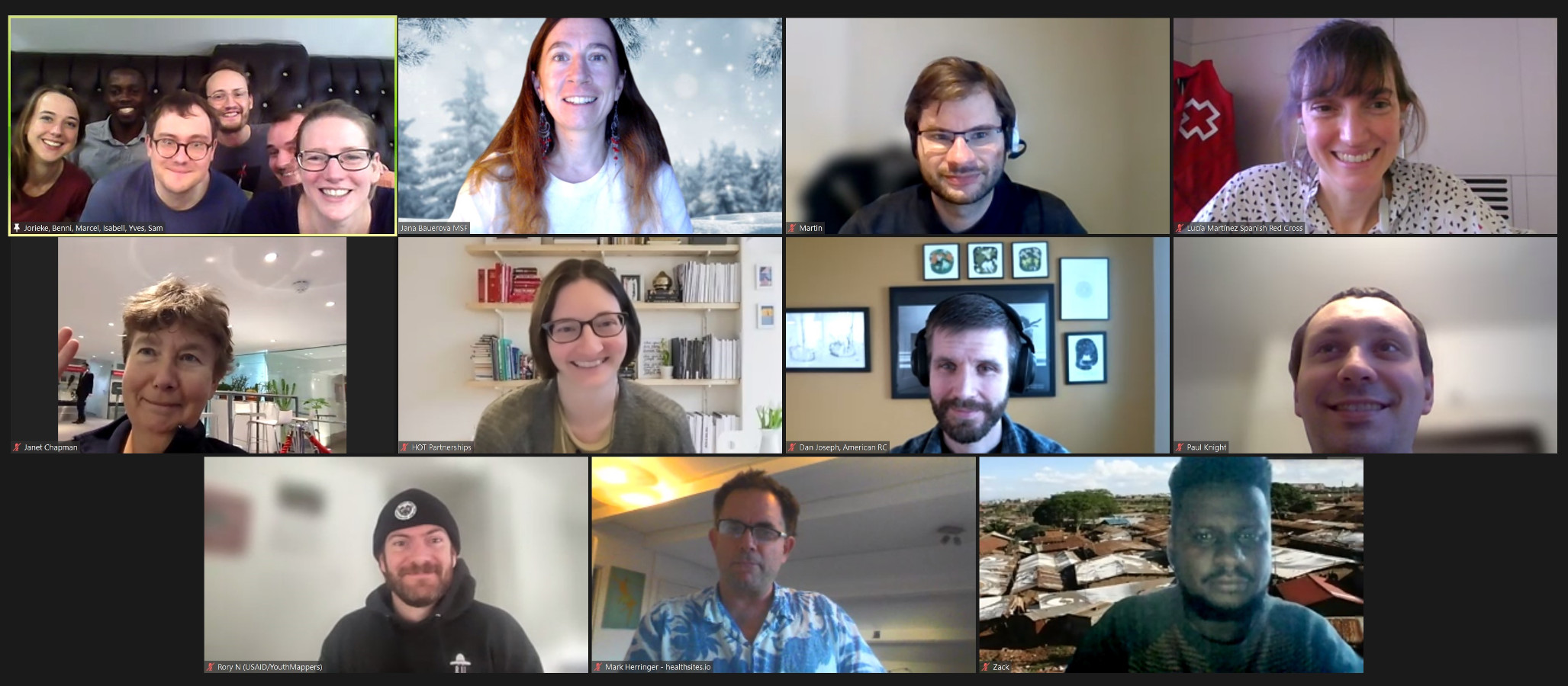
The State of the Map Africa 2023 provided a space for a hybrid Missing Maps annual meeting on the edges of the conference in Yaoundé, as well as the first-ever Missing Maps annual report with highlights, successes and challenges.
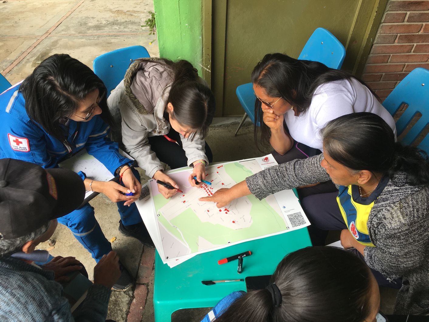
The Heidelberg Institute for Geoinformation Technology team recently launched a new version of the Skecth Map Tool - an easy-to-use tool for participatory sketch mapping through offline data collection, digitization and georeferencing of local spatial knowledge.
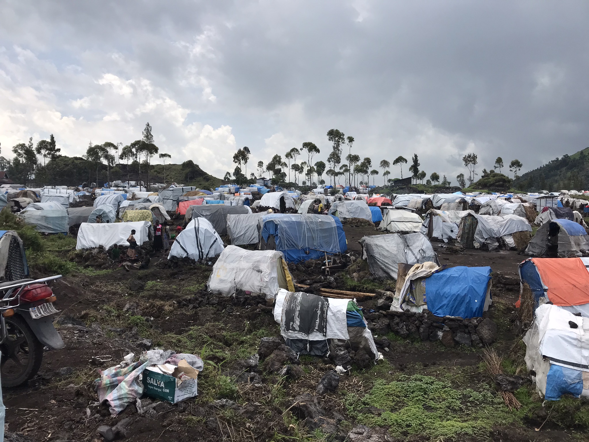
Amidst the ongoing conflict and displacement crisis in the Democratic Republic of Congo, utilizing geodata contributes to an effective evaluation of the situation, understanding the extent of displacement in a setting where estimating the number and spread of population is never an easy task.
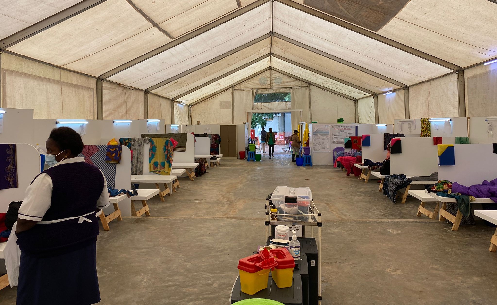
Malawi was experiencing the worst cholera epidemic in 20 years, so MSF sent an emergency team and activated Missing Maps. When a cyclone hit in March, OSM data was also invaluable for assessment.
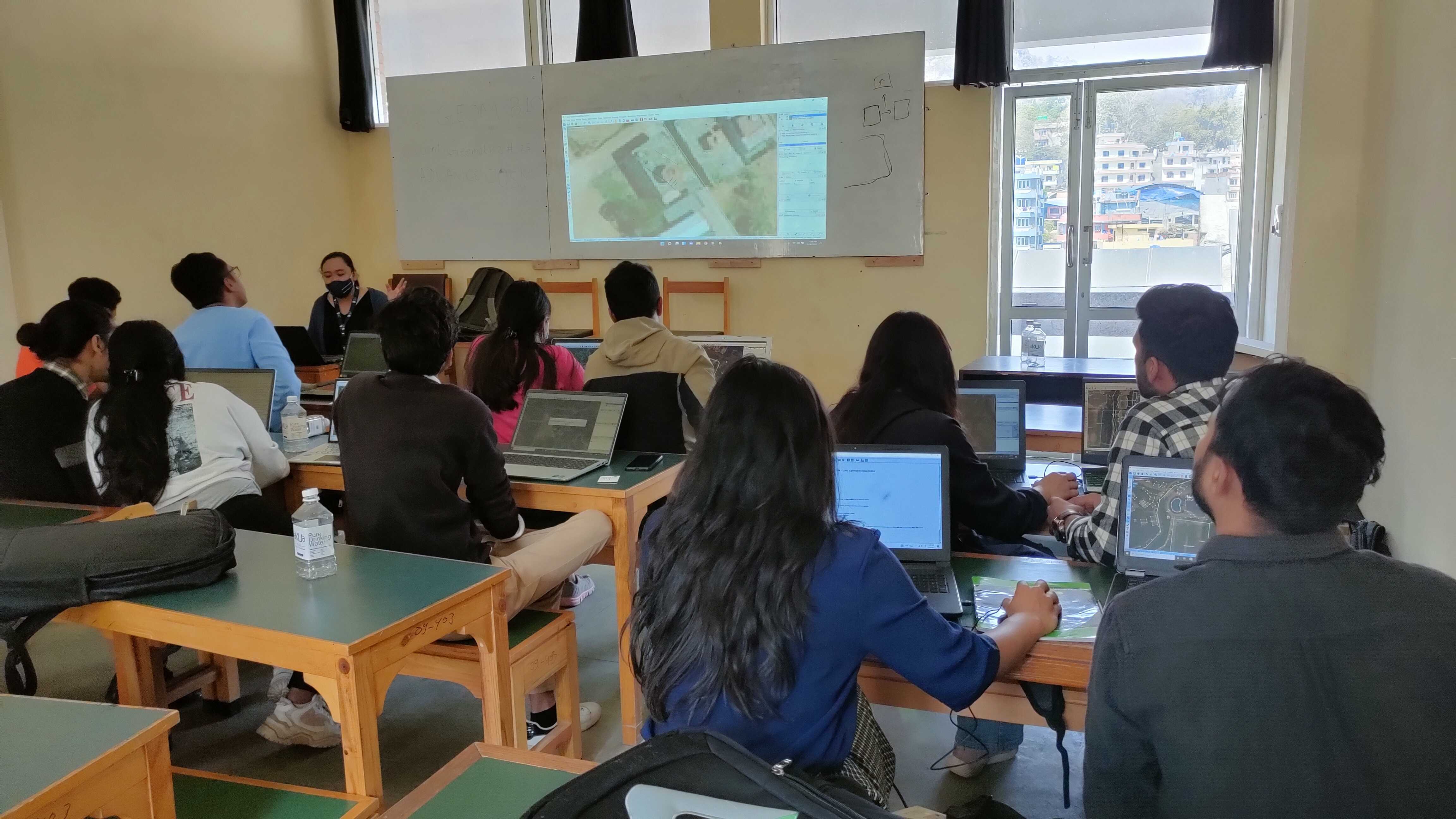
For the International Women's Day 2023, three women validators from different countries shared their unique perspectives
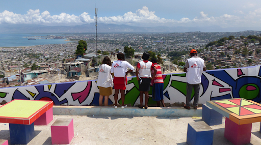
MSF a utilisé des informations géographiques pour cartographier les risques de pollution de l’air avec l'aide des bénévoles de Missing Maps qui ont mis à jour de précieuses sources de données routières et de bâtiments OpenStreetMap (OSM).

 EN
EN
