From your internet browser or mobile phone, you can play a part in helping communities around the world, one swipe at a time.
MapSwipe harnesses the collective strength of volunteers to actively contribute to geospatial data projects. From identifying infrastructure to tracking environmental changes and validating map data, MapSwipers help improve map data across the world.
MapSwipe is an open-source mobile and web app that is making mapping around the world more coordinated and efficient. Volunteers swipe through imagery in several different project types, each designed to meet specific mapping needs. Due to its ease of use, MapSwipe is for everyone; volunteers can make a meaningful contribution to a humanitarian or development mapping project within their first minutes.
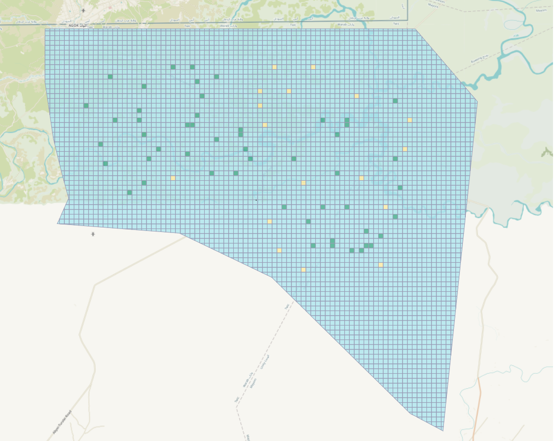
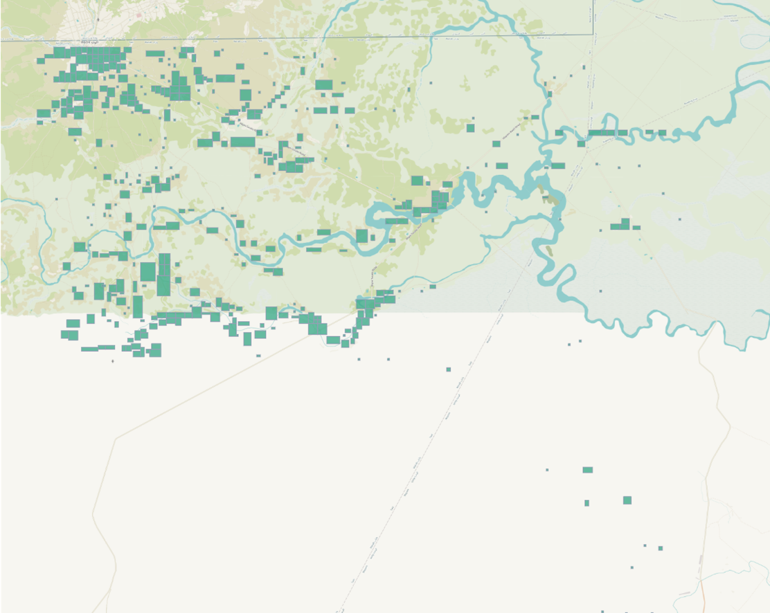
For example, in the “Find features” type of project, volunteers swipe through satellite images to identify & select those that contain the requested features such as buildings, roadways, waterways:
Explore all project types and more information on how to get involved on the MapSwipe website:
Getting started is free, quick and easy:

Organizing a MapSwipe event is a simple, yet powerful way to make an impact.
Thinking about bringing people to MapSwipe together? Start with the MapSwipe Event Toolkit and MapSwipe event FAQs.
Want to help keep MapSwipe running?
Your donation will help ensure smooth operation, sustainability and maintenance of the mobile and web apps.