 EN
EN

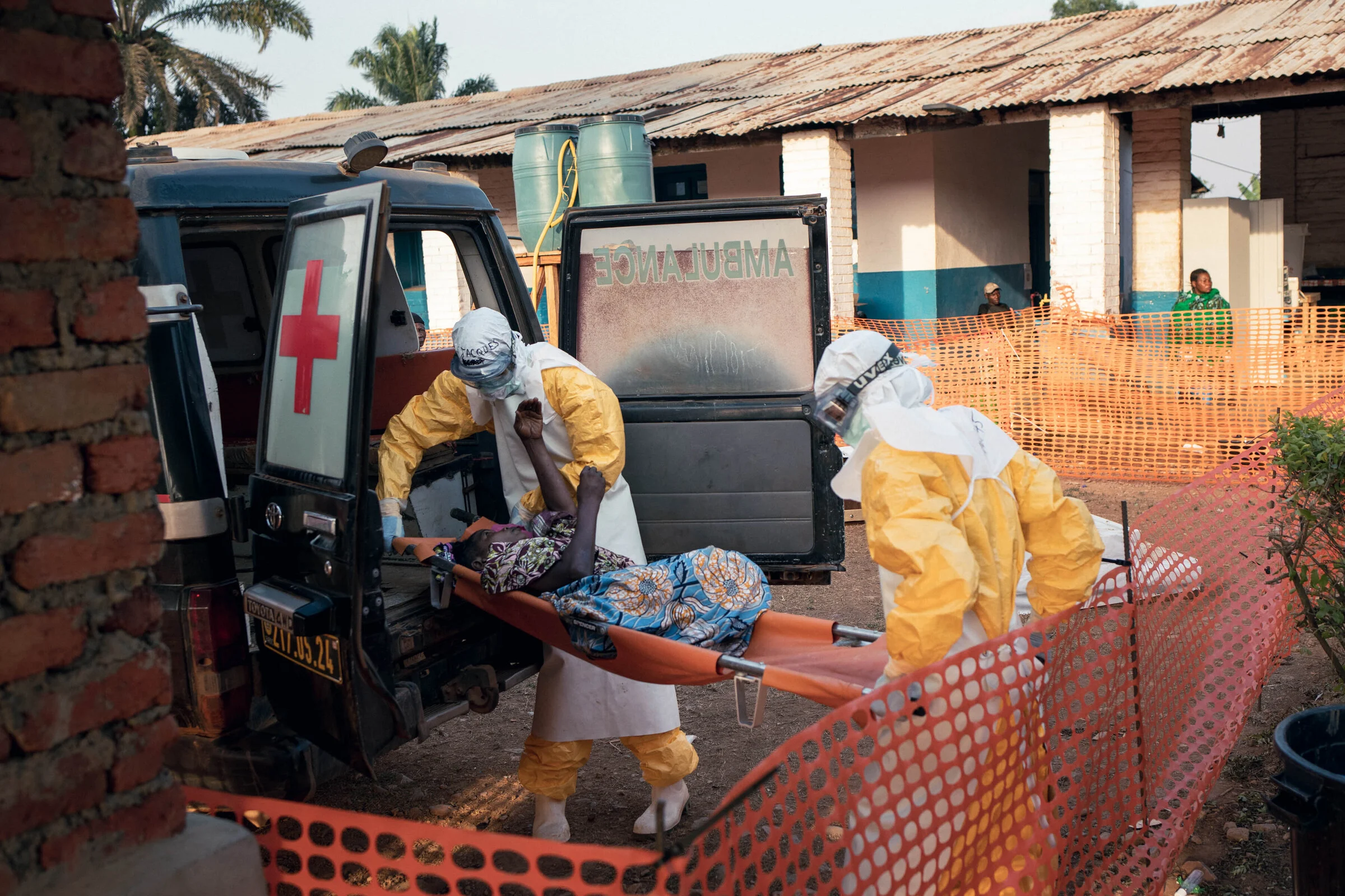
Following the confirmation of an Ebola outbreak in the Ituri Province in the eastern Democratic Republic of the Congo (DRC) on May 18, 2026, the Humanitarian OpenStreetMap Team (HOT) completed a needs assessment (size-up). The HOT Eastern and Southern Africa (ESA) Hub, in collaboration with local mappers from OpenStreetMap RDC and Médecins Sans Frontières (MSF), launched HOT Tasking Manager projects from May 21 (more details on the DRC Ebola 2026 OSM Wiki). Meanwhile, Médecins Sans Frontières launched a large-scale humanitarian and medical relief effort, building on the experience with the previous Ebola outbreaks, including the use of Geographic Information Systems (GIS) expertise for surveillance and contact tracing.
The good news was that the area, including the Ituri province, and Goma, the capital of the North Kivu province in eastern DRC, and its surroundings, had already been intensively mapped several years before the outbreak. Linked to the previous Ebola outbreaks, the OpenStreetMap RDC community led the mapping in OSM and supported the Ebola response in 2018 in the DRC. HOT developed a more robust digital data information system in Uganda, mapped points of interest, and trained community members in 2019. Otherwise, MSF mapping in recent years focused on internally displaced persons (IDP) camps around Goma, as well as parts of Ituri, thanks to the implementation of an Indoor Residual Spraying campaign to prevent malaria-carrying mosquitoes in dwellings. Thanks to this, humanitarian organizations and first responders had access to solid quality baseline map data. However, as the situation evolves, more detailed and up-to-date information is needed, particularly from rural areas surrounding major urban centers.
Volunteers from around the world started by improving the OpenStreetMap in the Ituri province in areas with the highest numbers of confirmed and suspected cases. As of 1 July 2026, 1333 cases have been confirmed, including 399 deaths, in DRC, as per the National Institute for Public Health interactive dashboard set up in collaboration with Africa CDC (Centres for Disease Control and Prevention) and other organizations, and 20 in Uganda, including 2 fatalities.
About two weeks after the outbreak was declared, the MSF Missing Maps team was mobilized to support teams in the region through mapping. The main area of focus is around the towns of Mongbwalu and Bunia in Ituri province, covering an area of approximately 22,000 km² − roughly the size of Slovenia. Subsequently, MSF launched new projects on MapSwipe to help identify the human settlements in the landscape. Via the Missing Maps collaboration, the organizations setting up projects use recent open imagery provided by Vantor, made available via OpenAerialMap.
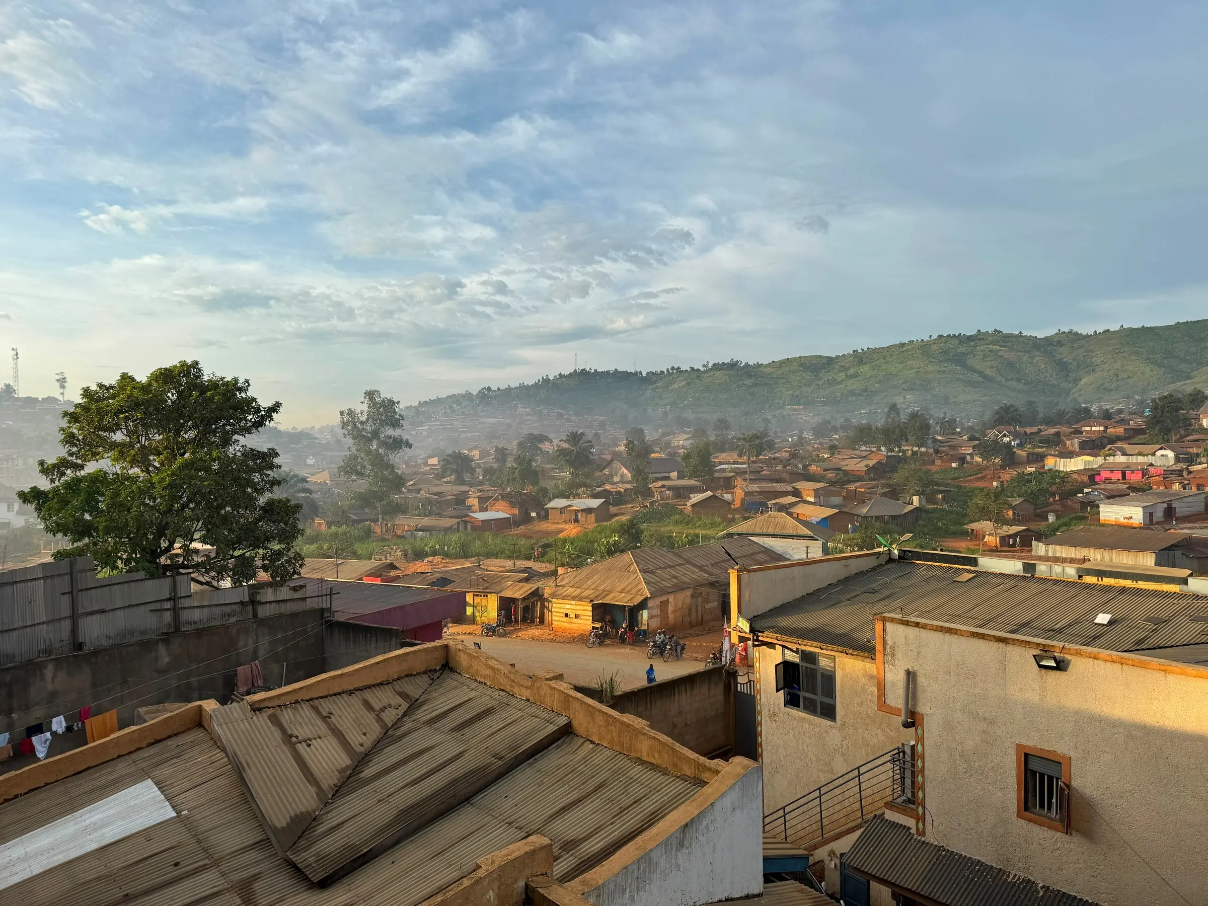
Fig 1 An Ebola treatment center in Mongbwalu, Ituri, Democratic Republic of Congo./Anna Schönhoffer, MSF
In collaboration with the Humanitarian OpenStreetMap Team(HOT) and the ESA Open Mapping Hub, the community members have fueled the following activities on the HOT Tasking Manager:
- updating the locations of villages,
- mapping residential areas,
- mapping building footprints.
This uMap shows the priority area that Humanitarian OpenStreetMap Team (HOT) is working with Médecins Sans Frontières (MSF) to respond to the outbreak. At the same time, experienced mappers are validating HOT Tasking Manager data, including deleting no longer existing buildings and residential areas, to ensure that the map data best reflects the current situation on the ground. This can result in a negative count of OSM buildings in terms of the overall statistics of the #eboladrc2026mapping campaign.
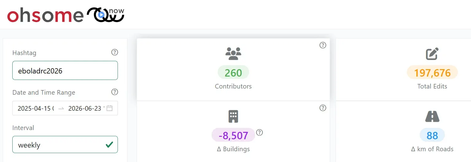
Fig 2 Source:https://ohsome-now.heigit.org/dashboard#hashtag=eboladrc2026
New data has continuously been made available on OpenStreetMap:
- via weekly HDX exports here, which have been downloaded over 245 times
- and via other OpenStreetMap export tools such as GeoFabrik or Overpass Turbo.
The following activities that the Missing Maps volunteers are welcome to contribute to are ongoing as of 22 June:
- mapping of residential areas and buildings in the Ituri province,
- mapping of buildings in the city of Bunia.
Some mapathons have focused on mapping the Ebola 2026 projects, including in Brussels and London, but most remote mapping has advanced organically.
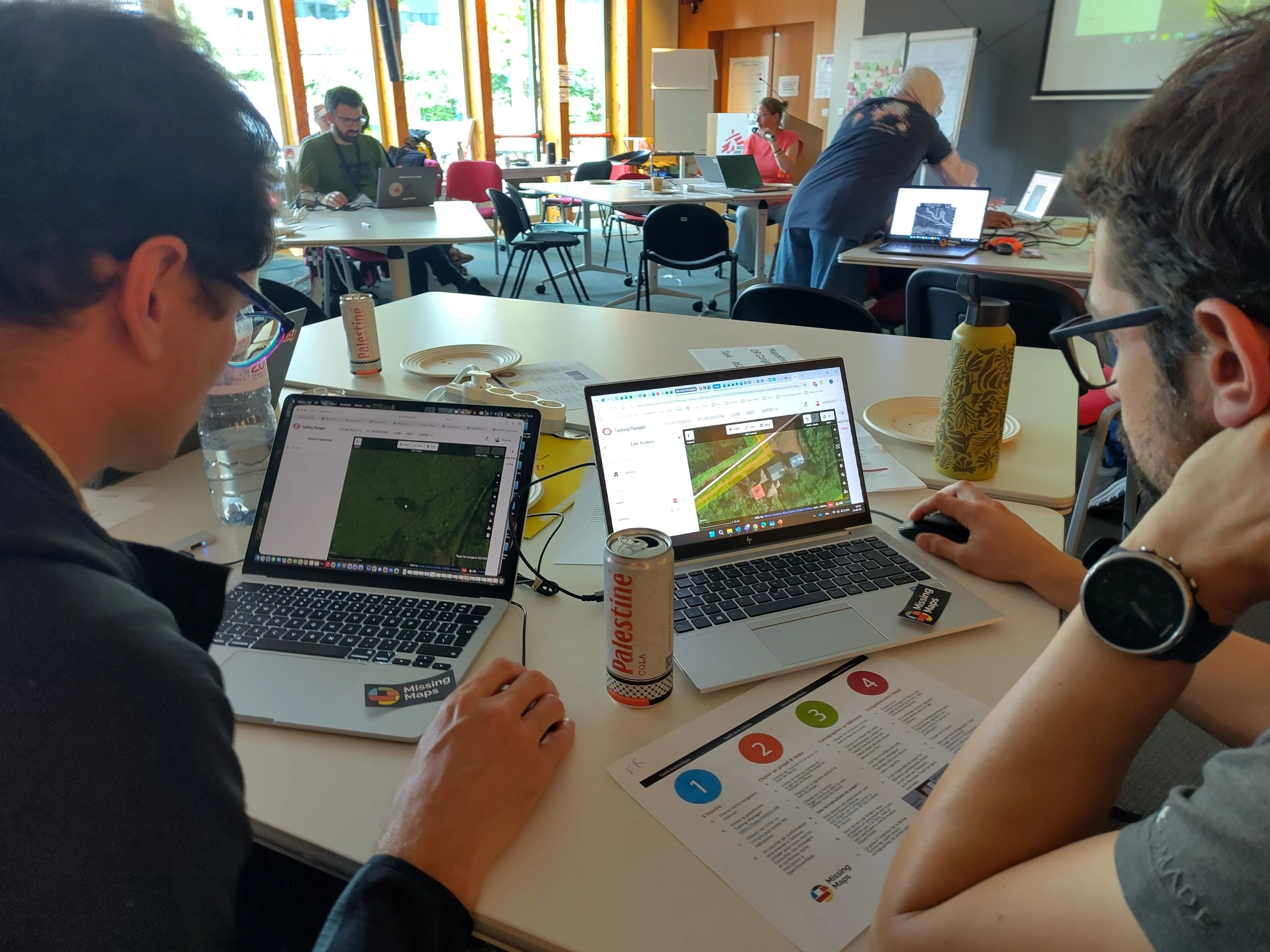
Fig 3 A Missing Maps Mapathon organized by MSF Belgium on 16 June 2026./Alexandre Jaillon, MSF
What is the spatial data used for on the ground?
As one of the GIS specialists supporting the Ebola response in the DRC specified, it is employed towards:
- Orientation purpose for teams working in the areas.
- Optimizing general delivery of supplies (protective, medical material, as well as the logistics of people and material part of the response) by identifying constraints on road access.
- Security mapping, for example, by understanding alternative routes.
- Mapping outbreak hotspots and transmission at a small-scale level. GIS and epidemiological experts use OpenStreetMap data to correct and improve villages & communities mapping, to identify patients’ origins, and identify disease hotspots.
Looking forward, volunteers can support by continuing to update individual buildings. For example, in the towns of Bunia and Mongwalu, and elsewhere in the Ituri Province, as published on an ongoing basis on the HOT Tasking Manager. In addition, expanding the road network and expanding information on the state of the roads can serve the logistics and facilitate access for medical teams. It can also help anticipate evaluation in areas MSF and other organizations have not visited yet.
The sharp rise over the past week in the confirmed Ebola cases (over 350 in the DRC) and deaths (over 140 in the DRC) is a stark reminder that this outbreak is far from over. Behind every number is a person, a family, and a community facing immense challenges. As responders work to contain the spread of disease, accurate and up-to-date maps remain a critical tool for reaching affected populations, planning interventions, and ensuring that no community is left off the map. The continued support of the global mapping community helps provide responders with the geographic information they need when and where it matters most.
