Putting the World's Vulnerable Communities on the Map

Each year, disasters around the world kill nearly 100,000 and affect or displace 200 million people. Many of the places where these disasters occur are literally 'missing' from open and accessible maps and first responders lack the information to make valuable decisions regarding relief efforts. Missing Maps is an open, collaborative project in which you can help to map areas where humanitarian organisations are trying to meet the needs of people who live at risk of disasters and crises.

How we work

Process-Template 2 Created with Sketch. Remote volunteers trace satellite imagery into OpenStreetMap Step 1. Community volunteers add local detail such as neighborhoods, street names, and evacuation centers Step 2. Humanitarian organizations use mapped information to plan risk reduction and disaster response activities that save lives Step 3.
Template Created with Sketch. Humanitarian organizations use mapped information to plan risk reduction and disaster response activities that save lives Step 3. Community volunteers add local detail such as neighborhoods, street names, and evacuation centers Step 2. Remote volunteers trace satellite imagery into OpenStreetMap Step 1.
How to participate
A cartoon laptop is displayed. An image on the screen shows two cartoon characters with lifesize map components. A man is placing a boundary around a structure, while the woman is running towards the man with a PointOfInterest (POI) icon.
Start mapping now - Step 1
It is no problem if you have never mapped before. It doesn't take long to learn - just about an afternoon! Visit our beginners section in our Learn to Map page to find out how. If you already know how to edit OpenStreetMap (OSM), feel free to just get started.
Organise a mapathon
Organising mapathons is a fantastic way to build a community of mappers. It is also a great learning environment, where new mappers can learn from the experiences of others while contributing to a shared goal. Mapathons are organised by groups and individuals all over the world.

LEAD A MAPATHON JOIN A MAPATHON

...
Map your community - Step 2
Many organizations are using OSM to inform their programs. OSM is great for collecting field data while empowering communities. If you are interested in creating and using data from OSM in your work, these guides will help you get started.

FIELD MAPPING

A cartoon man and cartoon woman shake hands and smile.

Donate to make an impact
A donation to the Humanitarian OpenStreetMap Team (one of the founders of Missing Maps) can help support local people to map their own communities, develop tools and processes so that more people can contribute, and scale this work so that even more responders and humanitarian organisations around the world have maps and open data that enable them to make time-critical, data-driven decisions.

DONATE

...
Learn about our work - Step 3
Missing Maps is a collective of organizations using and growing OSM to best serve communities all over the world. If you want to read more about what happens next, check out the Missing Maps blog.

Read the blog!

Contributions

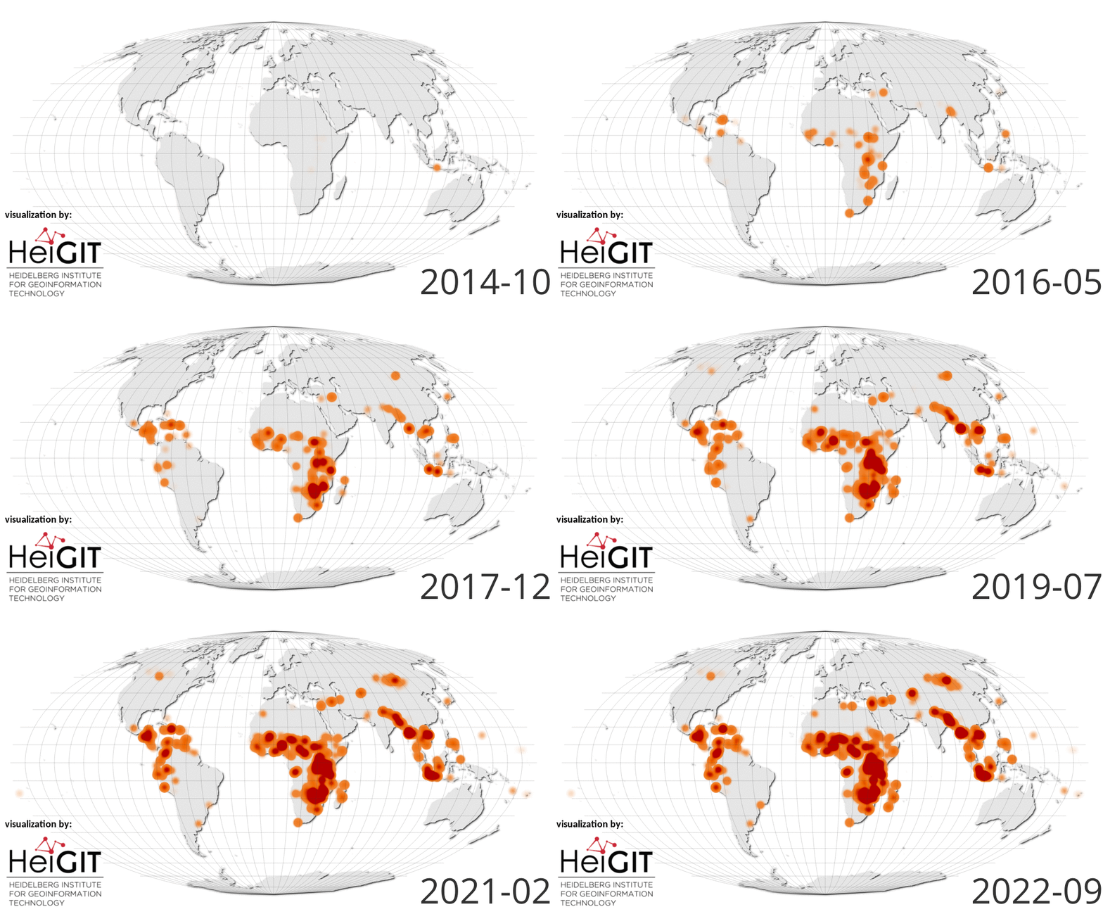
Since 2014 Missing Maps users have contributed
...
0
Total Contributors
...
0
Total Edits
...
0
Building Edits
...
0
Roads (km)
Events
ALL EVENTS
About

Missing Maps is made possible thanks to the following organizations.

Founders
arc logo brc logo hot logo msf logo
Members
cartong logo netherlands red cross GIScience Heidelberg logo HeiGIT logo george washington-logo cadasta logo youthmappers logo healthsites logo canadian red cross logo ifrc logo german red cross logo crowd2map logo spanish red cross logo map kibera logo immap columbia logo adf haiti logo

OpenStreetMap

OpenStreetMap is the volunteer-driven open data mapping platform which makes all of this possible, supported by the not-for-profit OpenStreetMap Foundation.